Your selection
- Size
- —
- Area
- —
- Prints at
- —
Checking this area…
LiDAR from the City of Vancouver Open Data Portal, used under the Open Government Licence – Vancouver.
Gallery
Terrain you can hold
Landscapes and cityscapes pulled out of open geographic data and made physical — printed in plastic, cast in brass, milled into graphite.
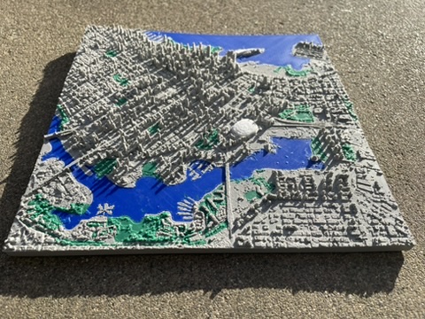
Downtown Vancouver
Raw LiDAR point clouds from the City of Vancouver, classified into ground, buildings, water and vegetation, then resolved to a 1 m grid and extruded into a watertight mesh. This is the same pipeline the 3D Print Vancouver tab runs on demand.
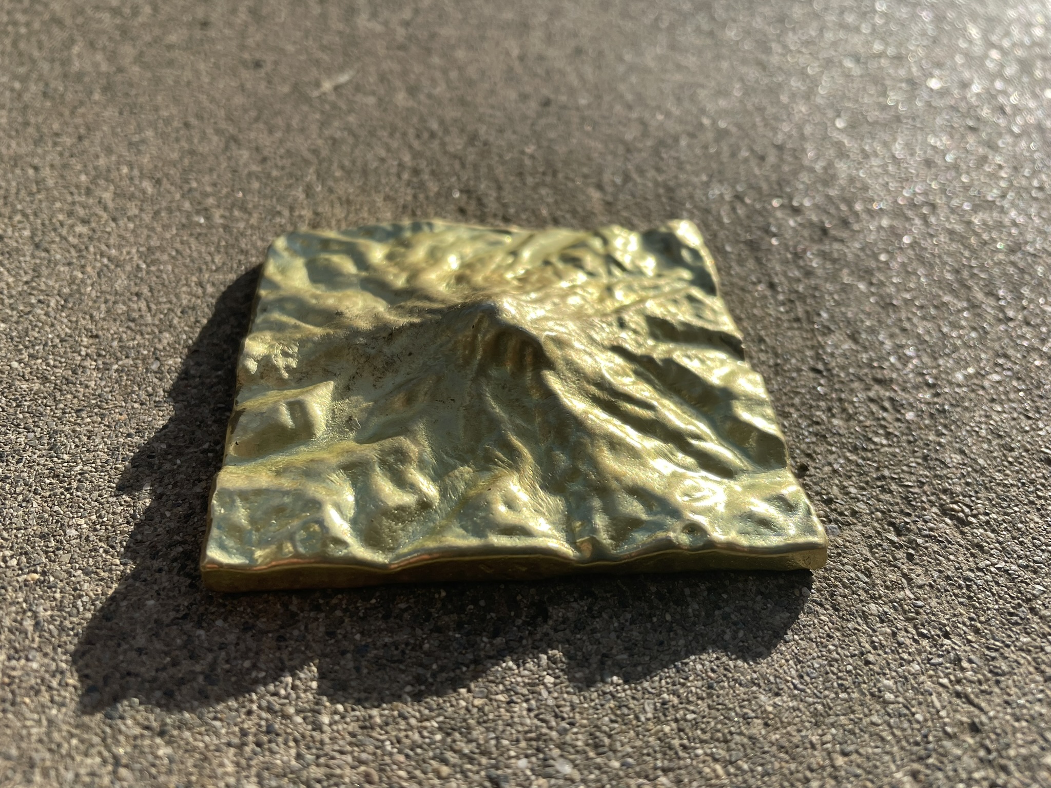
Mount Rainier
Terrain base generated with TouchTerrain, printed, invested, and cast in brass. Harding, C.; Hasiuk, F. TouchTerrain — 3D Printable Terrain Models. ISPRS Int. J. Geo-Inf. 2021, 10, 108.
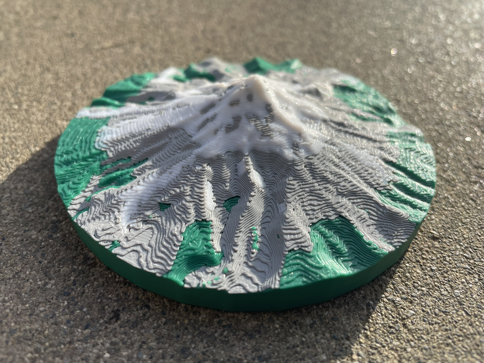
Mount Hood
A round-based take on the classic relief model, with the base profile shaped in Blender so the mountain reads as an object rather than a map tile. Terrain from TouchTerrain.
About
Hi, I'm Lucas.
I'm a full-stack developer who spends his spare time turning geographic data into things you can pick up. Point clouds go in one end; brass, plastic and graphite come out the other.
The work
The 3D Print Vancouver tool on this site is the most technically ambitious piece. Hundreds of gigabytes of raw LiDAR are classified, aggregated to a 1 m grid, and stored as a versioned, chunked array in the cloud — so that asking for any block of the city becomes a bounded query rather than a batch job. The mesh is extruded on demand and handed back as a watertight, print-ready STL.
Beyond automated pipelines I work hands-on in Blender: designing moulds for CNC-milled graphite blocks used in metal casting, cleaning up photogrammetry scans, shaping custom bases, and whatever else a given piece demands.
The workshop
For 3D printing I run a Bambu Lab P1P with an AMS for multi-material work. On the casting side there's a TOAUTO 5 kg electric furnace for lower-temperature metals, and a forced-air charcoal furnace I built from firebricks that could reach copper. That one is out of commission at the moment — it's being replaced with a waste-oil furnace that should get to cast iron temperatures.
Communities
Most of what I know about geospatial work I learned from people in these two groups. Both are free, welcoming, and always looking for new faces.
- CUGOS Cascadia Users of Geospatial Open Source — a Seattle-area group for people building with open geospatial tools.
- MapTime Seattle A beginner-friendly, hands-on meetup for anyone who wants to learn how to make maps.